Monday, May 6
New house recon...
TRAINING LEAD-UP
Wednesday, May 8:
Flow - Day 6 - Center & Day 30 - Flow Yoga with Adriene
Thursday, May 9:
Glute and pec PT v1 in 31:25, "My Invention+" in 50:17
Friday, May 11- Tuesday, May 14:
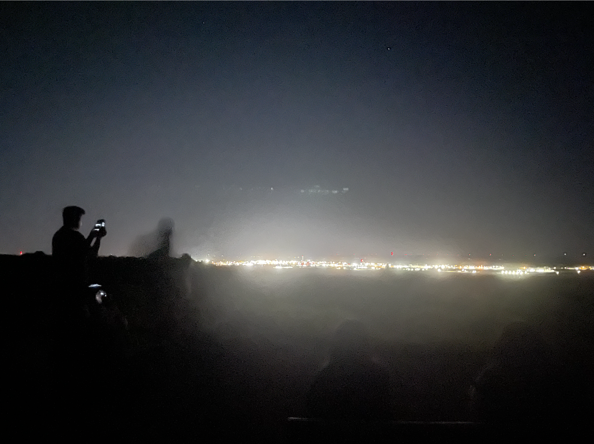
I missed the first night of the big Northern Lights dip into the Southeast, because I went to bed early.

Fortunately, I happened to be in Iowa the second night and got to see it then. At first, I went to a park overlooking the city, but it looked Southward, and we didn't see anything. Plus, the park closed at 10pm, so the cops were making everyone leave by 11pm.

I drove north a little bit, looking for a spot where I could pull over. I finally came to a field. It was the perfect spot. Unlike the Northern Lights that I saw with bright colors in Iceland, the one here barely showed up as white streaks. At first, I wasn't sure if I was actually seeing the Lights, or if it was just streaky clouds. When you take a picture with your phone, though, the colors appear. I stayed out until 1am. It had been the best not long after I got there, but the lights didn't really come back after that while I was there, so I left.
Work trip, so not as easy to fit in workouts... just one.
Monday, May 13:
18A "Dynamic Warmup" nose breathing in 29:32, then "PATHFINDER Beginner: Much Ado About Stuffing" in 33:11... meh
Still make the most of the trip!
REV3 NEW RIVER RUSH 50 HOUR ADVENTURE RACE
Team Steel Wolves was coming back together this year. Last year, we really enjoyed working together at the first annual Rev3 50 Hour Adventure Race. It's not often that you can find a team of 4 people who can suffer and work well together. Fortunately, everyone could make it again this year. The event was still in driving distance for us this year, which makes carrying the giant bins of gear and the bikes so much easier. I can't imagine the hassle of trying to fly with a bike and having to disassemble and reassemble it without anything breaking or getting lost during the flight and the process.
Check-in Day:
Saying hi to my friend before the drive...
SB and I got into town early enough to stop by the visitor center, where she happened to spot a CP on our way back up the stairs from the bridge overlook! Too bad we didn't have the e-punch already. We asked for copies of maps and even located a potable water source outside the visitor center. A very productive visit!
We checked in, marked up maps with the clues, and attended the pre-race briefing and rafting safety brief.
At one point, after the others had gone off before the brief and I was alone, a big gust of wind blew, and the fortunately waterproof maps flew into the water park pond! Fortunately, they hadn't flown and/or drifted so far that stepping in knee deep didn't allow me to retrieve all of the maps. Some required a bit of a stretch, but I collected them all. I was glad that I was already in sandals. The adventure had already started for me!
The trailer for bikes was full by the time we rolled our bikes over there, so they slept on this porch overnight, to be transported in the morning.
We had a quick dinner at the restaurant at ACE Adventure resorts before heading to the AirBNB that some racing friends kindly shared with us.
We stayed up late route planning. Our NCARS racing buddies didn't need nearly that long to get their stuff together that night. They're pros. I guess it's similar to how it doesn't take me long to pack for rucking events because I've done so many of them, whereas newbies always spend a long time overthinking (for fairly valid reasons) each item.
The benefit of getting race maps early is that you get a chance to plan (vs getting it the morning of on the drive to the start like with
Sea to Sea, or on the clock like with
South Fork Sampler). The downside is that you may eat into night-before sleep time, right before an event where you're already going to deprive yourself of sleep.
The Morning Of, Pre-Race:
We took our team photos the morning of. We got to see our photographer buddy Vlad again!
We loaded our rucks in the truck, for pickup after the prologue run and rafting legs. We also loaded up our bins (one bin per 2 people).
Right before a big, long event, where you'll be limited on what gear you have, and even more important than that, maybe, food and water, you keep second-guessing yourself! You try to chill and not expend too much unnecessary energy right before the event, though.
Our race plan did change like right before the start, though, when we found out that to be considered a "course clearer", you just had to find every point except the ones designated "pro points". Originally, our route plan was based on a strategy of maximizing total points. We were intrigued by the idea of potentially being able to clear the course, since that's a badge of honor, plus, last year, it meant that you got a special version of the race medal vs a participation / finisher version of the race medal. We decided to adjust our plan and go for course clearing, knowing that if we failed, we might have a sub-optimal number of points vs if we had pursued max points from the start.
Race Day 1:Before we knew it, it was time to go!
Prologue 5K Trail Run:
All we carried with us for the prologue ~5K trail run was any water and food that we'd want during the potentially 4 hour paddle.
We were towards the back of the pack, but we ran much more than I expected to, since the others on the team don't consider themselves big runners, even though they crushed it.
TA1:
After the run, we created our own restroom stop opportunity.

We didn't have to wait long to get the next raft.
Leg 1 - 13 Mile Paddle:
The paddle was a lot of fun. I'd do this race again, just to get to raft again.
The first half was pretty chill, and then there were ~21 class 3 to class 5 rapids in the back half. The guide was awesome... super experienced and encouraging. He knew when to let us recover vs when he could have us go.
There was an opportunity to jump into the water and get retrieved later. One person took him up on the offer and seemed to enjoy it. It was fun to watch him. I got slightly chilly during the rafting, so I wasn't super in the mood to try it.
I'd sneak in opportunities to take a little bit of GoPro footage, where I could. I stuck it in my sports bra afterwards, not wanting to have it fly away when we were going over rapids.
TA2:
Once we pulled in, we could access our rucks, change clothes, dump the wet clothes into our "paddle bag", and set off on the trekking leg. We were able to get our trackers and e-punches once we checked out of the area.
Leg 2 - 18 Mile Trek:
The first CP was on a bridge that we had actually passed under, while we were rafting. We had seen a faster team punch it. SB punched that without even stopping.
Now, it was time for a climb, from the river, all the way to the overlook that we had been at, the previous day. It was one of the mandatory points. It was lightly raining at times. The road up to the top is narrow, and it's a one-way street. Big busses for the rafting companies wind their way down.
We didn't end up needing to use the outdoor water faucet, since the visitor center was open during the day. Vlad was at the top and took our picture at the CP.
Now, instead of going for one or two Pro Points along the Visitor Center side of the canyon as originally planned, we went all the way back down and crossed the river, so that we could start getting the non-pro points.
We did get a forced mini-break waiting for a train to unblock our path across the river.
Our first point on the other side of the river was down a little segment of trail, by a waterfall. I like it when CPs take us to cool little spots like this. After SB got the point and Jenni shared chicken nuggets, Megan purified some water from the waterfall, and we continued on our way.
We climbed up the trails, walking with some guys who were just on a bro hiking trip for a little while. The next point seemed to be on top of the cliff. We saw a big power line cut, and that seemed like a reasonable place to put the point, but it was cut along what was actually a different enough bearing than what we needed to get the point. We spent FOOOOOREVER trying to find the point, probably longer than we should've, but at that time, we were still hoping to clear the course.
Lessons:
1. Don't make assumptions about where the point is... go by the compass.
2. Set time limits and agree on clear rules on how long you'll search for a point that you make beforehand. Don't let new "gut feelings" about how the point seems like it's probably just a tiny bit further allow you to keep extending that pre-agreed upon time limit.
Many other teams were struggling to find the point, too, so we weren't alone. Especially since we were there for so long, we ran into a lot of teams. Eventually, a group found it, so we were able to go punch it as well. We were still clearing the course at this point.
The next one was much more straightforward. We even managed to find a little shortcut on a former path that led to a neighborhood. The guy whose house was at the end of the path happened to be out and was OK with us coming through the side of his yard to get to the road that would lead us to the community park with ballfields, where the next point was.
We rucked some more along trails, until we started getting into the mountain biking area that we'd later bike through. We still had to get points on foot for now, but we could recon a little while we were there. The next point was marked at a cliff's edge for a cliff used for bouldering, which meant that it could either be at the top or the bottom of the cliff. We first searched at the top, which is a reasonable thing to do, since it's better to avoid an unnecessary climb down and back up if it's at the top, plus the MD might be inclined to put a point up at the top of something where there's a nice view. It turned out that it was at the bottom, but it was a cool spot! The MD had recommended that we take a picture there. He had indicated several points as ones to be worth the trip, even if we visited it only after the event had ended. I wanted to be able to see as many of those as I could, during the race. Another team happened to be down there and followed us in to the cave, which worked out, since we could take pictures for each other.


There was another point that probably wasn't super far away distance-wise, but it was a long way down, near the river level, and then we'd have to climb all the way back up, so we decided to skip it. It was already starting to get dark.
TA3:
We went by one last trailhead-side point, after taking another mini shortcut on a somewhat overgrown path, before coming into TA3, at Arrowhead Bike Farm and Campground. It had been a long day already, and we had to get ready to get on bikes. Before that, though, we topped off on water, got some snacks and hot dogs (I had 4), and got into our bike gear.
Leg 3 - 42 Mile Bike:
The bike points in the MTB trail system were of the A-B map format, where you find point A that's plotted on your map. Physically attached to the "A" CP was a mini-map, which would show us where the B-portion of the point was located. This is another way that MDs can get more distance out of a given racing area. You're essentially forced to backtrack back and forth to get points. There's still strategy involved, but some back-and-forth is inevitable.
The trails were challenging but rideable for us. It was pouring down rain, which didn't really make the riding any more challenging, but it was messier and just something else to contend with.
The punch for 11B wasn't at the flag, so we took a picture as proof instead, and they'd have our tracker data as verification afterwards.
Here are examples of the maps at the A-points, showing the locations of the B-points. You can even see the progression of the rain and fog. It got thick, limiting visibility.
We worked through light source challenges, since some of them weren't as rainproof as we would've liked.
We ended up giving up on the idea of clearing the course during this leg. We spent a while attacking Reetnrant a few different ways, but never found the point. It ended up being mis-plotted, I believe, so the teams that had been looking at the right area (like ours) were credited with it later.
We also struggled to find one in the giant boulder field by the trail. They were large boulders, not easy to climb over with the big gaps and uneven footing. We searched pretty extensively, but no luck.
We had to keep going, though, since there was still a lot of course to cover, and there were still mandatory points to get to be considered any kind of finisher at all.
Now, it was time for the cliff-edge bike ride, which is another kind of experience at night. You can see that there's a cliff drop-down to the left, a narrow trail that you're trying to stay on even with some roots and rocks and stuff, and then the wall to your right. It may have been better that we did this in the dark, since all you could see on your left was blackness. In the daytime, you'd be able to see how far down the drop would be.
There was a missed turn incident where we lost time, but everyone was at least safe, and we pushed on. It was pretty late in the night, and that is a good time to catch a nap. It's easier to sleep when it's dark out, and when the sun rises, it helps to wake you back up and get you energized for another day. Plus, there's less of a risk of passersby coming across you when everyone in the world is sleeping.
We found a perfect little cliff-side clearing right next to the trail (on the drop-off side). We decided to get a couple of hours of sleep there, to regain energy for the remainder of the bike leg.
The Cajun Filet Biscuit from Bojangles that I had been saving had gotten drenched in my pack during the bike ride. The biscuit had disintegrated and had melted and mashed all over the inside of my ruck, covering many of the dry bags (that the biscuit had not been safe in) and the inside of my ruck. It was a mess to clean up in the morning (and post-race more thoroughly).
We got dressed (putting on wet clothes is a nasty feeling) and got moving again. We biked for what felt like a long time, before finally getting to the river entry point, where rafting companies were setting up. Fortunately, SB was able to sweet talk one of them into letting us each fill up a bottle of water. We were running low, and there wasn't enough commercial / recreational development in this area to have water spigots. The bathrooms were all pit toilets. Nice for having a halfway decent place to poo, but no running water is tough.
We still had some distance to cover along a riverside trail. At least the cliff-side drop wasn't as severe this time. Lots of semi-muddy puddle portions to ride over, that would slow the bikes down a bit, but not terrible. At least it wasn't super technical riding. There were a couple of downed trees to move bikes over or around, too.
We finally crossed over the river, which was like a mental midway point of this very long bike leg. Still, no running water, even at this building, which had been our last potential hope for finding water. We'd have to either find a natural water source or manage with what we had until we got to the next TA. The building was a train station and visitor center. One visiting couple that had mountain biked the previous day and talked to us for a little while about what we were doing, very kindly gave us a couple of bottles of water, which we treasured.

Because this "bike leg midway point" was at river level, that meant that the second half of our journey would likely be uphill. We had pushed our bikes so much during the first Rev3 50 hour AR. We'd be doing a good bit of that this time, too. I struggled with pushing the bike, compared to the others. To me, pushing the bike uphill feels like rucking plus doing an overhead press at the same time. I go slowly. It feels like way much less effort for me if I ride on a low gear. My bike is probably lighter than the others' bikes, so riding it isn't as bad for me. I eventually shifted towards riding ahead on low gear, then waiting for them at the top of the hill.
We were on a gravel road, so it's pretty bike-friendly in terms of traffic. The road was a lot longer than we expected it to be, based on what we had measured, though.
We took breaks and eventually got to the few miles of downhill portion of the ride, into Babcock State Park. We made it! We didn't end up needing to break into the fresh bottles of emergency water, but we definitely did use the riverside fillup from the rafting company.
TA 4/5:
At the TA, there was a water source at the campground, plus restrooms and even showers. We got bin access, too.
Leg 4 - 3 Mile Trek:
Since we were pretty far behind and needed to make sure we could get back to the start in time and cross the river before the permit time ended for the company, we didn't go for anything other than the mandatory point at the next leg.
The point, which had been accessible on foot prior to the race, ended up being inaccessible by now and was surrounded by a raging river! That meant that we just got to take a selfie with it, from the safety of a bridge, for credit. It was a steep but scenic little hike.
TA5:
We tried not to waste too much time getting ready to set off on bike again. We didn't want to loose the little bit of daylight we had left, since biking is slower at night.
Fortunately, a lot of this journey was downhill. We were able to cruise. I like to hit a controllable terminal velocity, where I don't have to use brakes around corners. Let friction slow me down enough to make the turns safely.
There were some gigantic puddles that cover most of the trail, that we came across on our way back. Paying attention to the landmarks on our original way up to Babcock helped us be confident on our way back to the river, since different things looked familiar.
The last bit of riding before we got to the river had us riding along a cliff again. At least the road was wider than it was the previous night when we had still been trying to cross the river, but it was really foggy, so you had to be careful not to ride off the cliff.
We finally got to the riverside again, to our favorite train station. I was still amped up on adrenaline, but the others wanted a short nap, so we napped. The train platform was clean, and it had a trash can where we could dump our bar warppers.
We had one mandatory point near ACE Adventure Resort that we had to get on bike before we could switch over to trekking.
We had one initial route plan, but we ran into Team Onyx, who had tried that plan and ran into a locked gate, but only after carrying their bikes up steep steps and trudging through miles of a muddy path. They highly recommended that we find an alternate route, so we decided to try to retrace whatever road the rafting busses take to get down to the river, from the resort.
That took us to the eastern side of the resort, after a long bike push, and then we rode through the resort and onto a road outside of the resort. It was steep, too, and with cars now. We found a parking lot near where the point should be, at the opposite end of the closed-off trail, and fortunately, found the point.
It felt surreal riding into a place with neon lights after wandering the wilderness, sleep-deprived.
TA6:
Like last year, we decided to nap in our cars before the final trek. I do wish that we had set off earlier than we did, since we were all awake and ready to go ahead of the pre-agreed on time. Even the MD was urging us to go and not linger to socialize while we were still on the clock. At least everyone was awake, though.
Leg 6 - 3 Mile Trek:
We made pretty good use of our last couple of hours. We got the point between two points (easy), took a trail to deer hollow, bushwhacked towards disc golf hill (had to search a little bit but found it), went back west on trails to side slope and hippy bus, and then grabbed bouldering rock at the end.
If you don't plan to clear the course, a good strategy for maximizing points is to leave yourself a good amount of time to grab points at the end, at least at Rev3. There's a high points-to-effort/time ratio there.
Finish:
We did it! Checked in before the cut-off.
Afterwards, we let our nasty clothes dry, ate at an all-you-can-eat taco bar provided by the race, congratulated the top 3 teams, and watched the top team use an inflatable blob to make the MD fly into the air and into the water at the water park.
VIDEO RECAP:
These videos are fun to make. You get to tell a story, find music that goes along with the mood at different points during the race, immortalize the most memorable moments of the race.
Next year, the Rev3 50 hour event is in Wyoming, so we probably won't do it. I'm not quite in the mood to try flying with my bike yet, as fun as racing in another type of geography would be. I'm sure it'll be epic, though!


No comments:
Post a Comment