TRAINING LEAD-UP
Monday, Jun 24:
18A "Dynamic Warmup" in 26:16, then a 7 mile nose breathed run in 1:23:14 at the office gym until I got a hot spot on my right pinky toe and had to use the restroom.

Tuesday, Jun 25:
5.5 mile ruck around the neighborhood at night in 1:41:05, wearing MACV1s with 30# in the v2 Rucker.
Paused to take pics of a deer.


Wednesday, Jun 25:
Day 6 - Light | MOVE & Day 9 - Curiosity | MOVE Yoga with Adriene
Thursday, Jun 26:
Workout with Waxhaw Ruck Club:
- 0.6 mile warmup ruck
- 5 sets of [12 60#DL, 9 40#HC, 6 40# row, 100m 40# SB shuffle] with 30#R
- 0.9 mile cooldown ruck
Back at the Office as a Finisher:
- 4x [2.5 min arm strengtheners with 2x10#DB, 0.5 min rest, 2 min high plank]
Friday, Jun 28:
My parents starting moving into their new place


18A "Lower Body Prep" in 24:50, "Lower Push BW" in 36:53
Monday, Jul 1:
Managed to ruck 1 mile, collecting nails in the construction-heavy area around my parents' house, before they needed my help with moving and re-assembling furniture.

Tuesday, Jul 2:
Yoga Flow for Beginners | Intro to Flow & Flow - Day 12 - Stability with Adriene
Wednesday, Jul 3:
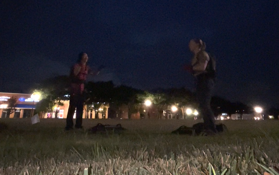
"Capture the Flag" WOD with the 4 miles, with MACV2s and the Rucker v2 with 30# on South Main at the USNWC.
4x...
- 1 mile ruck
- 13 ruck pushups
- 50 ruck squats


Afterwards, we hung out, drank beer, watched live music, and saw the "night ops" USNWC night-time activities that they rolled out, to help ease the sting from not having permits for fireworks anymore.


Thursday, Jul 4:
Spread freedom seeds at Coleman's in the morning.

In the afternoon, went back to the USNWC with my parents, to ruck 2 miles on South Main and watch some live music.


The music was uncomfortably loud, so we didn't stay for a long time, but the USNWC is still my favorite place in CLT!

Saturday, Jul 8:
OPERATION TINY DANCER RECON
There was a 30% off events promotion going on for Green Beret Fitness, so I had a few days to decide whether I wanted to try my first mountain rucking race with them, if I wanted to take advantage of the deal. They were offering a 10 mile "Tiny Dancer" route for the first time. It would have about 2,400 feet of gain. There's one pace standard to be considered a "finisher" (5 hours), and a more challenging pace standard to earn personalized dog tags (3.5 hours). It seemed reasonable, since I do 12 miles in 3.5 hours without huge difficulty, but elevation and technical terrain can make the distance more challenging.
I wanted to preview the route, to help me make my decision. My ankles have a tendency to roll, even on perfectly flat pavement, so I wanted to see how "runnable" the terrain was. It would help me bag the PATHFINDER mountain challenge at the same time, too. I asked my dad if he wanted to come along. Even though he was still busy unpacking from the move, he wanted to take the opportunity to hike and hang out.
It wasn't super clear where the trailhead was, but we found it. We made a wrong turn early on but corrected. Then began the long descent up, over the course of about 2.5 miles.

The terrain wasn't that bad, and it wasn't super steep... it seemed nearly runnable. We took a little break on the way up, and there was GPS bounce.
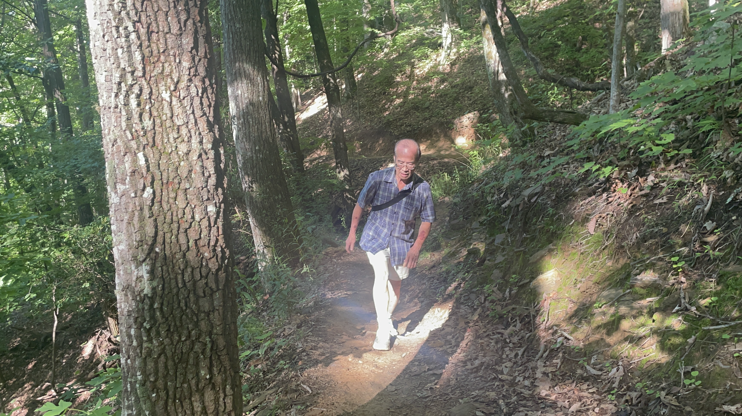


At a big clearing and trail crossing, my dad decided to stop while I continued with the "lollipop" part of the route. He didn't want to over-exert himself. I left some water behind with him, so that I wasn't unnecessarily carrying a bunch of water. I wanted to come back quickly.
 |
I continued along the gravel road, looking for an intersection that never came. The gravel was nice and downhill. Eventually, though, I got to a T... I wasn't expecting a T. I tried to figure out where I was, but I only had cell signal at the top of the mountain. I turned on Strava, which didn't have the trail system up, but I could at least see the track that I was covering, and I could start comparing the shape of my track against the one in the screenshotted route map. Alltrails has offline versions of the map and wayfinding features, but I'm too cheap to pay for most subscriptions.
I asked a couple of mountain biker groups, but they didn't have signal or know, either. One suggested that there was a loop going to the right side of the T (9 miles worth of loop, which was more than I was looking for), but I started going that way. After a while, I figured out that I was going North and away from where I needed to be, so I backtracked.
As I backtracked, I saw that my Garmin map had a T-intersecting trail pictured on it that I hadn't seen in person. When I got to that point in the map, there was an unmarked, barely visible path. That's what I needed!

It took me downhill towards a creek. There were two little water crossings along the way, but they were crossable with rocks and weren't that wide.

Some parts of the trail look like they are not used very much. You push through the person-high vegetation.

There were a couple of downed logs to cross, too, but at least the path was visible enough.

I got down to the creek, tried to message my dad (no success with no signal) and then started back up towards the gravel road. The climb up was intense at times!

I finally got signal again near the top. My dad had been wondering what was taking me so long. The detour and backtracking had definitely added time, but I was hustling to try to minimize the time impact.
We reunited and made our way back down.

I estimate that we covered about 11 miles in 5:13:32. That's slower than even the "finisher" time standard, but I'd be carrying less weight on the real thing and would be going at my pace the whole time.
It took me a couple more days before I committed, but I did decide to sign up for the event. It was the perfect distance to give the mountain rucks a try, not too far from where I lived.
No comments:
Post a Comment