TRAINING LEAD-UP
Wednesday, Mar 30:
3 mile coupon ruck with a 30# ruck plus a 20# SB suitcase carried, switching hands every quarter mile, followed by a 20 min AMRAP (JBF EMOM done as an AMRAP), then JBF "Quality" with a half mile run in 4:11, 30 min SB PT, and a half mile ruck in 7:28. Catching up on missed workouts!
Friday, Apr 1:
Detox Fusion Yoga Day 1 - Upper body yoga workout with Brett Larkin on Youtube.
SOUTH FORK SAMPLER
Pre-Race
Adventure races are fun, especially with good friends. This was going to be SB and I's third AR together, after the USNWC's Long Creek 4-hour Adventure Race and the Sea to Sea 72-hour Adventure Race. There was a 4-hour option and an 8-hour option. Typically, the longer the better, as long as we're not trying to taper for something else, so we opted for the 8-hour. They also offered a corporate edition on Friday. Their goal is to get people outside, especially in the great and relatively unknown parks and outdoor spaces in our community. They certainly achieved this, as I discovered two new parks and a trail really close to home, that I had no clue about before.
This is a beginner-friendly race, which hosted a clinic about 10 days before the race, to help newbies to the sport learn what gear to pack and what to expect with the format. While road races and the like are plentiful, AR is a less well-known sport. EcoChallenge airing on Amazon Prime brought it back / much more into prominence more easily, though, and gave those tired of the same-old-same-old something new to try.
We got there early, because that's what I like to do, especially with an event that requires more logistical prep than usual. We signed waivers, picked up the 2-person kayak and PFDs that we had signed up to rent, and staged our bins, camping chairs, and bikes in the parking lot. We'd be able to set up a little transition area in the parking lot, which was nice. There would be race officials around all day, to make sure our stuff was safe. The race's area of operation extended north and south from the parking lot, and the kayak launch was right there, too, so this was perfect.


Originally, the plan was for the race to be traditional in that there would be no phones or GPS's allowed. They later changed it so that it could be more beginner-friendly. Even though it may put us at a disadvantage from a competitive perspective, SB and I decided to try to use our map and compass only, as much as possible, to sharpen those skills.

Prelude and Planning
The race started with a prelude, like many races do, to spread out the field a bit. We had to run to the end of a road, pick up an empty bottle, and bring it back to the start to stick it in the recycling truck. This event supports sustainability, so this was a nice, themed way to begin the event. Only one person from the team had to do this run, and I was happy to be the person for my team, especially because I enjoy running and SB does not. Once the bottle was in the truck, we could collect our maps for the race. SB and I got to planning. We didn't care if it took us a while, or if everyone left before we did. We know that a few minutes of good planning and strategy can save miles and hours.


There were three main sections of map - central, south, and north. There were also some more detailed trail maps for parks. Our plan was to go south first, grab a bunch of points. Next, we would come back to the TA to paddle, since we have a little less knowledge about how long that leg would take, so we didn't want to risk being stuck out on the water and run out of time. We'd take the northern section last.
Southern Portion
I had some familiarity with McAdenville from past rucks during Christmastime. It was fun getting to show the area to SB.


One point was challenging to find, because the picture only showed the entrance of the area, and the actual point was inside the area. We and another team searched for a while there, and eventually, after expanding our search area a good bit, we found it.

There were a couple of points that were marked as water-based, but if you were willing to get wet, you didn't necessarily need a kayak to get them! SB took it for the team and offered to get them.


We finished grabbing the last couple points in the southern section. This was kind of an out and back portion, so we saw a number of other teams along the way. It was also kind of an uphill portion, so the way out was a grind, but we flew down on the way back.


On our way back to the TA, considered taking a potential shortcut which would've required some extra biking to check out the feasibility of. We ended up taking the conservative, longer route, and as we passed the exit point of the shortcut, we realized that the shortcut would've worked. Oh well... you win some, you lose some. Such is the nature of orienteering.
Paddle Portion
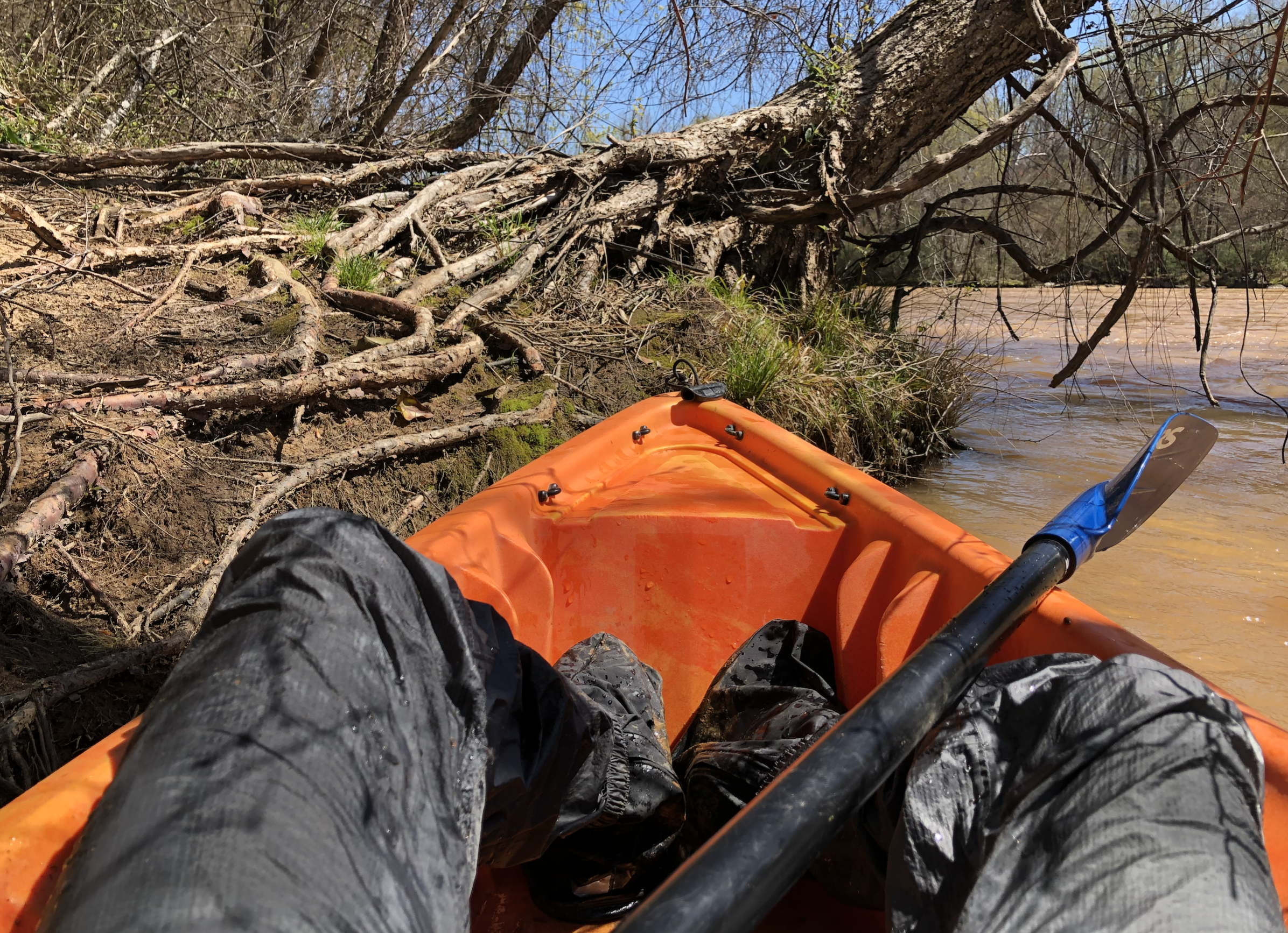
Onto the paddle! This is a discipline that you typically don't get to practice or do as much, since it requires having a watercraft and access to water, and a means of getting the watercraft to the water. There are places where you can rent in the warmer months, and there are public launch points around, but it takes more effort than biking or hiking. We were therefore excited for the opportunity to get on the water.
We decided to go upstream first, so that we'd know how hard of a fight that would be. We got one point by a bridge, followed by another on an island that some people apparently "swam" to from the shore, instead of getting it by kayak!


 ]
]

No comments:
Post a Comment